Wandelkaart Evros - Samothraki | Geopsis 130 | 1:30.000/1:50.000 | ISBN 9789198447910
(ISBN: 9789198447910, 1:30.000 / 1:50.000)
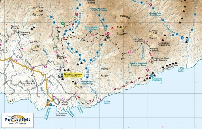
Watervaste wandelkaart van de oostelijke Rhodope-rand in Evros (Griekenland) en het Griekse eiland Samothraki. Wandelpaden met kilometermarkering, bezienswaardigheden, verlaten dorpjes, etc.
All place names are in both Greek and Latin alphabet. The map presents the region’s topography by contours at 20m intervals enhanced by bold relief shading. Waymarked trails are prominently highlighted. Road classification indicates dirt roads in poor condition. Symbols highlight various facilities and places of interest including mountain refuges and emergency shelters, accommodation and other tourist facilities in local villages, climbing sites, caves, etc. The map has a UTM grid, plus latitude and longitude crosshairs at 30”. Map legend includes English
On the reverse is a road map of a wider area around the mountain, maps showing vegetation and the terrain, plus bilingual Greek and English descriptions of six hiking trails.
rhodopen


