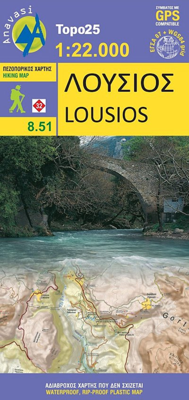
Wandelkaart Lousios-Peloponnese | Anavasi 8.51 | 1:22.000 | ISBN 9789608195295
(ISBN: 9789608195295, 1:22.000)
De TOPO 25 maps zijn uitstekende topografische wandelkaarten voor een deel van Griekenland. De kaarten zijn gedetailleerd en geven een helder kaartbeeld.
U vindt op deze kaarten veel interessante punten voor wandelaars maar ook voor fietsers of andere toeristen die het gebied bezoeken.
De kaarten bevatten een uitstekend reliefaanduiding, vormen van vegetatie en andere topografische details.
Lousios (Loussios) George in the northern part of the Peloponnese on a contoured and GPS compatible map at 1:22,000 from Anavasi, printed on light, waterproof and tear-resistant synthetic paper. Coverage extends from Dimitsana southwards to Karitena, and includes Stemnitsa with Klinitsa and the adjoining peaks.
On one side is a topographic map of the area with contours at 20m intervals and bold altitude colouring. The map shows local footpaths and trails, including the route along the river gorge. Road network indicates dirt roads in poor condition, shows distances on main routes, and gives locations of petrol stations. Symbols highlight various places of interest, including churches, museums, archaeological sites, viewpoints, etc. The map has a 1km UTM grid, plus latitude and longitude cross-hairs at 1’ intervals. Map legend includes English.
On the reverse is a simplified map, without contours and colouring, to show more clearly the area’s network of trails and roads. Many places are annotated with bilingual Greek/English descriptions.


