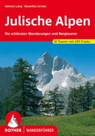
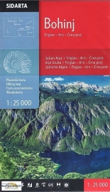
Wandelkaart Julische Alpen - Triglav National Park hiking map | Sidarta | 1:50.000 | ISBN 3830008646309
Wandelkaart van Slovenië met schaal 1:50.000 van de Julische Alpen met het Triglav Nationaal-park.
Dit is de enige kaart die het gebied van de Julische Alpen van oost en west in één blad weergeeft. Gemarkeerde routes, GPS coordinaten, klimgebieden Triglav, hutten.
- Julian Alps- Julijske Alpe - Triglav National Park hiking map 1:50,000 Slovenie
- All alpine paths graded easy, difficult, very difficult
- Marked tourist paths around Bled, Kranjska Gora, Bovec, kobarid
- 'Walks of Peace' trail marked a historical path round the frontline from the 1st World War
(The isonco Front)
- Border of Triglav national park market
- GPS system of co-ordinates (WGS84 and Gauss-Kruger)
- Natural and cultural areas
- Climbing areas
- Back of the map has drawings of mountain huts with all the information you need.
- Folded map in plastic wallet
(ISBN: 3830008646309, 1:50.000)
sidarta triglav, sidarta julische alpen, wandelkaart triglav


