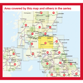
Fietskaart Lanarkshire & The Scottish Borders | Cycle map 38 - Sustrans | 1:110.000 | ISBN 9781910845097
* Cycle City Guides geeft duidelijke fietskaarten uit met hoogtelijnen en ingetekende fietsroutes en alternatieven daarvoor.
Verder vindt u ingetekend op de kaartjes bezienswaardigheden, Stations, Supermarkten, Fietsenmakers, Pubs, Hotels etc.
This area map shows the National Cycle Network and local routes in this area. It covers Lanarkshire & The Scottish Borders in Scotland, including Livingston, Innerleithen, Dalkeith and Melrose.
This pocket-sized colour map shows clearly mapped on-road and traffic-free paths, easy to read contours, and detailed inset maps for the major towns and cities as well as recommended linking routes connecting the NCN with quiet roads. The map also features 4 day rides with directions and a description of the area, highlighting key cycle routes and places of interest.
Major cycle routes covered by this map:
National Route 1 between Melrose and Dalkeith via Innerleithen. This makes up part of the Coast and Castles South long-distance cycle tour.
National Route 74 between Moffat and New Trows.
National Route 75 bewteen Edinburgh and Caldercruix.
National Route 196 between Penicuik and East Saltoun.
The western half of the 4 Abbeys cycle route (full route on map 39) and the western half of The Borderloop cycle route are show on this map.
(ISBN: 9781910845097, 1:110.000)


