-25%

wandelkaart Mount Pelion - Volos - Mount Mavrovouni | Anavasi 4.3 / 4.4 | 1:45.000 | ISBN 9789609412506
(ISBN: 9789609412506, 1:45.000)
Het betreft hier een wandelkaart van het Pilion schiereiland met Mount Pelion. Dit is zeer gedetailleerde topografische wandelkaart gemaakt van scheur- en watervast materiaal.
Mount Pilio - Mount Mavrovouni 1:45.000 Topo50 Anavasi 4.3 / 4.4
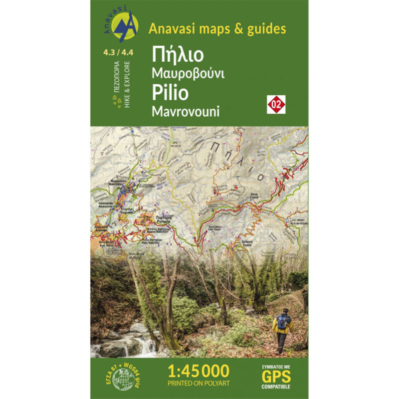
Pelion Peninsula with Mt Mavrovouni on a waterproof and tear-resistant, double-sided, contoured and GPS compatible hiking map at 1:45,000 from Anavasi highlighting 20 recommended hiking trails, beaches, campsites, etc. All place names are in both Greek and Latin alphabet.
Coverage extends from the southern tip of the peninsula northwards across Mt. Pelio and Volos to Sklithro north of Mt Mavrovouni. The map has contours at 20m intervals, with light relief shading, altitude colouring and numerous spot heights.
Road network indicates dirt roads in poor condition, gives distances on most small local roads, and shows locations of petrol stations. Footpaths are graded to show narrow or poorly defined paths, with 20 recommended routes highlighted and cross-referenced to details of their length and approximate hiking time.
Symbols mark locations of various places of interest, including campsites, beaches, archaeological sites, etc. The map has a 1km UTM grid plus crosshairs at 1’ intervals. Detachable map cover includes an index of settlements in both scripts. Map legend and all the text include English.


boekwinkels zitten er bij mij in de buurt ?")