

Wandelkaart Bragg Creek & Sheep Valley | Gem Trek nr. 8 | 1:50.000 | ISBN 9781990161094
(ISBN: 9781990161094, 1:50.000)
GEM TREK: Serie stevige en gedetailleerde wandel-, fiets- en wegenkaarten van GEM Treks voor de Rockies in Canada.
- De topografische kaarten zijn voorzien van hoogtelijnen, wandelpaden, cabins en verdere toeristische informatie zoals campings of lodges.
- De achterzijde van de wandelkaart geeft u nog een grote hoeveelheid informatie over de ecologie, trails etc.
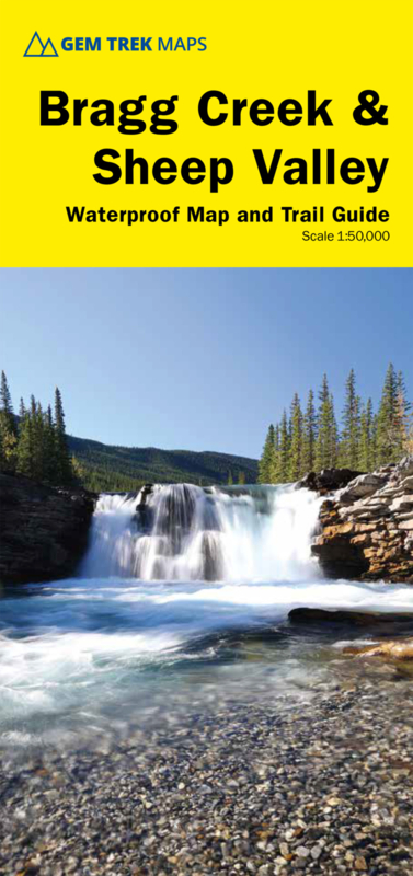
This map covers the popular recreational terrain close to Calgary, from Sibbald Flats (Hwy 68) in the north, through the Elbow Valley (Hwy 66), and south to Hwy 546 in the Sheep Valley. The map extends west as far as Powderface Trail Road.
Hikers and cyclists eager to hit the trails early in the season should note that many of the Elbow Valley and Sibbald Flats trails on this map are snow-free as early as mid-April, depending on the year.
Popular hiking and biking trails covered on this map include Elbow Falls, Prairie Mountain, Fullerton Loop, Moose Mountain, Sulphur Springs, Nihahi Ridge, Powderface Ridge, Jumpingpound Ridge, Cox Hill, Sheep River Falls, Volcano Ridge, Ole Buck Loop and Deer Ridge.
The complete Elbow Loop Trail and more of the Sheep Valley is covered on a 1:100 000-scale inset map on the back of this map. (Please note that the area on the east side of this inset map (Sheep Valley south of Hwy 546) is now covered at 1:50 000 scale on the Highwood & Cataract Creek map.)
Also on the back of the map are trail descriptions and photos of 20 highly recommended day hikes, seven classic mountain bike rides, as well as one prime area recommended for cross-country skiing. Also on the back is contact information for visitor centres and campgrounds.
rocky moutains west canada


boekwinkels zitten er bij mij in de buurt ?")